Cadastre: what is it and what information does it provide?
Real estate databases and automation: integrating Cadastre and Land Registry workflows via API

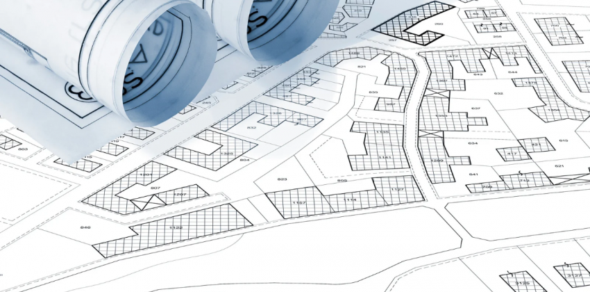
In Italy, the property information map is overseen by two fundamental but distinct public registers: the Cadastre (Catasto) and the Land Registry (Conservatoria dei Registri Immobiliari). The role of the Cadastre is to collect and make public the technical and economic data of buildings and land across the country.
What is the Cadastre?
The Cadastre is the official public inventory of all real estate located in Italy. It is managed by the Italian Revenue Agency (Agenzia delle Entrate) and serves both tax and information purposes. Its aim is to collect the technical and economic data of buildings and land, assigning each one a cadastral income (rendita catastale) used to calculate taxes such as IMU, the municipal property tax.
It is divided into two separate archives:
- Land Cadastre, established by Law no. 3682 of 1 March 1886;
- Urban Building Cadastre, or buildings cadastre, established by Royal Decree no. 652 of 13 April 1939 and in force since 1 January 1962.
The Cadastre is the official register for up-to-date data on real estate properties. All new buildings must be registered (accatastamento), and any changes to already registered property units must be reported (variazione catastale), within 30 days of the end of works.
It is important to know, however, that the information held by the Cadastre has no evidential value regarding the ownership of property rights, which must instead be verified with the Land Registry.
The difference between the Cadastre and the Land Registry
As we have seen, the registers of the Building and Land Cadastre contain the data of every property registered in Italy. The Land Registry, on the other hand, keeps the legal deeds relating to real estate, so it only includes properties that have been subject to sales or changes in ownership.
The Land Registry records legal deeds such as:
- Sales and purchases;
- Donations;
- Inheritances;
- Asset divisions;
- Mortgages and foreclosures.
In addition to making legal deeds public, the Land Registry therefore makes it possible to verify the actual owner of a property and to check for any mortgages or encumbrances on it.
What information does the Cadastre collect?
When we talk about cadastral property data, we refer to a set of very specific information that uniquely identifies registered property units and determines their cadastral income.
The cadastral data, shown in the Cadastral Report (Visura Catastale), are:
- Municipality;
- Urban section, if any;
- Sheet (Foglio);
- Parcel (Particella);
- Sub-unit (Subalterno), if any;
- Cadastral category, which indicates the type and intended use of the property unit based on its structural features. It is divided into major groups: ordinary-use property units (A, B, C) and special-use ones (D, E), plus the fictitious categories (which do not produce income but must still be identified) and Common Areas;
- Class: applies only to ordinary-use properties (A, B and C) and expresses the property's level of productivity or profitability within the same category and the same census zone;
- Size, generally expressed in rooms, square metres or cubic metres depending on the category;
- Cadastral surface area;
- Cadastral income.
The information also depends on the type of Cadastre: the Land Cadastre, for example, also includes data on the classification and surface area of plots (crop quality, productivity class, etc.), landowner income and agricultural income.
Cadastral data: APIs for process automation
Cadastral data can be integrated into management software, websites and real estate platforms through APIs that connect directly to the official Cadastre and Land Registry databases.
Integrating cadastral data via API makes it possible to automate the retrieval of information on land, buildings and registered owners, returning it in a structured format (JSON) for automatic ingestion into company databases, or in document format (PDF) to view official floor plans and cadastral reports via API.
This helps optimise key processes, such as customer onboarding or compliance and KYC audit trails, by selecting exactly the information needed and obtaining official, structured cadastral data in real time.

RELATED ARTICLES

Carbon free energy for Our Cloud  Low CO2





© 2024 Openapi SpA, a single-member company, under the direction and control of Open Holding Srl.
Viale Filippo Tommaso Marinetti 221 - 00143 Rome - Business Register: 1378273, Share Capital: €50,000.00, VAT Number: IT12485671007, Recipient Code: 'USAL8PV' - Certified Email: 
Openapi is certified in: Quality System **UNI EN ISO 9001:2015** - Data Quality **ISO 25012:2014** - Security Management **ISO/IEC 27001:2022** - Gender Equality According UNI PdR 125:2022
All prices are net of any VAT, stamp duty, registration fees, or other taxes that may be due. All logos listed on the portal are copyrighted and owned by their respective owners.